England is expected to experience its first White Christmas since 2010, with snow predicted to begin falling as early as November 18, marking a historic winter amidst threats of significant rainfall and flooding.
In a remarkable forecast for the winter of 2024, England is expected to experience its first ‘White Christmas’ since 2010, according to predictions made by the AI software at Sportscasting. This announcement marks a significant meteorological event for the nation, with snow predicted to hit England as early as November 18, turning landscapes across the country into picturesque winter scenes.
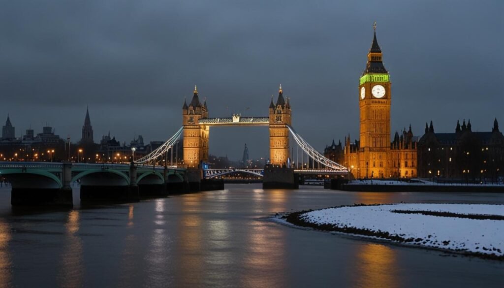
The forecast suggests that the winter season will be particularly memorable, with cold Arctic winds heralding the arrival of snow that will cover both cities and the countryside in a blanket of white. Iconic landmarks in London, such as Big Ben and Tower Bridge, are anticipated to be dusted in snow, offering a surreal image reminiscent of festive postcards.
England last witnessed a White Christmas in 2010 when snowfall was reported at 83% of weather stations on Christmas Day. This winter is predicted to share similarities with that memorable year, reviving the charm and allure associated with a snow-laden festive season.
However, while snow is set to enchant, other weather predictions for the UK this winter may not be as welcomed. The AI forecast has highlighted that alongside the snow, the UK is expected to endure unprecedented levels of rainfall. The projection predicts a significant increase over the previous record average of 540mm of winter rainfall, a development partly attributed to a rare confluence of atmospheric conditions.
Driven by a dramatic southward shift of the jet stream, a series of formidable Atlantic storms are expected to strike the UK, contributing to persistent low-pressure systems and almost weekly heavy downpours throughout December, January, and February. This weather pattern is likely to cause prolonged flooding, notably in low-lying regions such as Somerset, the Thames Valley, and parts of Wales. Coastal areas are also predicted to face continuous storm surges, while urban centres may experience significant disruptions due to the unrelenting rain.
Such conditions could see rainfall totals exceeding 600mm by the end of February, positioning this winter as one of the wettest in recorded history. Alongside the heavy precipitation, temperature lows are forecasted to approach the record plunge of -27.2C, promising a frigid winter reminiscent of some of England’s coldest periods in history.
Currently, the Met Office, which only offers projections up to early November, anticipates temperatures to hover near the seasonal average in the southern regions while potentially dipping below average in the north and northwest.
These predictions, if accurate, would represent an eventful and challenging winter for the UK, sparking discussions concerning climate resilience and the adequacy of the nation’s existing flood defences against such extreme weather patterns. As November 18 approaches, all eyes will be on the skies to see if this unprecedented weather forecast unfolds as predicted.
Source: Noah Wire Services


